Maps are useful resources for teaching children. Don’t miss this set of United States activity maps for your homeschool lessons and projects.
Children learn all about maps in social studies and geography classes. It is good for them to learn about where they live and the places around them.
We use maps to teach about directions and where places are located.
Sometimes we have an idea of where a state or country is. When we locate it on a map, we can see how far off our guess was!
These maps of the United States will come in handy for lots of activities.
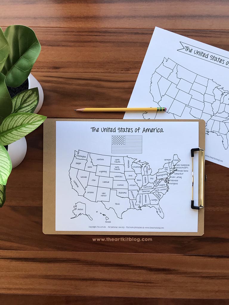
Two of the maps are blank, two of them have the states labeled.
The labeled states pages will be useful for studying where the states are located. You can also use them for teaching about how the U.S. was settled with a color code timeline.
The blank maps can be used for quizzing the states’ locations.
Use them also for teaching about maps. Help your child mark places where extended family lives, historical landmarks, or exciting places to visit.
Grab more United States map worksheets and activities below:
- Printable Family Travel Maps: United States and World maps
- FREE Tour of the USA Printable Maps
- United States Atlas Scavenger Hunt
Click here for your free activity maps of the United States from The Art Kit.
Latest posts by Jeannette Tuionetoa (see all)
- Earth Science with Science Mom - April 28, 2023
- Fall Color By Letter Activities - October 15, 2021
- Kids Journal and Goal Tracker - October 15, 2021
- American Revolution Flip Book Activity - October 15, 2021
- Free Hurricane Learning Activity - October 15, 2021
