Check out these cool Canada maps for kids who are interested in learning geography beyond the united states. These pages can be used in a number of ways which can be both informative and a ton of fun for kids to use.
These cool Canada maps are a great activity for kids who want to learn beyond the united states geography. If your students have mastered U.S. geography or are interested in learning more about Canada, these pages are perfect for them.
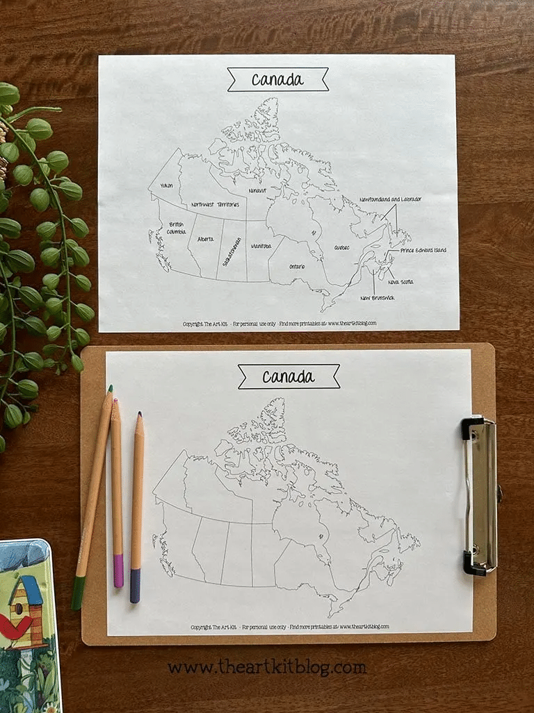
These Canada Maps can be used in many ways. You can challenge them to fill out a blank map with the names of each region. After this is completed you can also have the students color in the maps to identify each region and where they are located.
Kids will have a great time with these challenges and will learn a ton about the country of Canada. They can fill in their own maps and color them in. They can also have fun cutting the regions out and pasting them in a notebook to write fun facts about them. The possibilities are endless with these free printable Canada Maps.
Check out these links to download more awesome printable packs.
Click this link to download your free Canada maps printable pages.
Isa Fernandez
Latest posts by Isa Fernandez (see all)
- ASL Alphabet Mats - June 7, 2024
- Horse Spelling Worksheets - June 6, 2024
- Triangle Shape Worksheets - June 5, 2024
- Dinosaur Activity Pages - June 4, 2024
- Wildlife Coloring Pages - May 31, 2024
